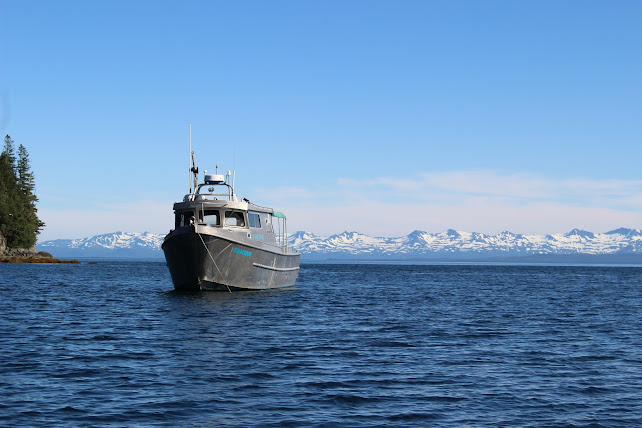
Veg Mapping Trip

Had a successful veg mapping trip last week. Was able to map a lot of cool plants, saw a ton of wildlife, and had tremendous weather the whole trip. We circled Knight Island in our four days of work, starting at the north end, then traveling down the east side to get south, and back up the west side towards the end of the trip. Knight Island is very steep in some spots, making it difficult to get out and walk at each of our plots, so we had several "boat obs" where plots could be called from boats using binoculars. Copper Bay, on the west side is surrounded by the four highest points on the island, reaching over 2500 ft in less than a mile traveling horizontally. Some plots were on cliffs, completely untraversable. The main reason for this mapping is to enhance the accuracy of a satellite that gives a comprehensive map of the vegetation of Prince William Sound. The satellite uses shapes and colors to determine what species are around, so by actual...

